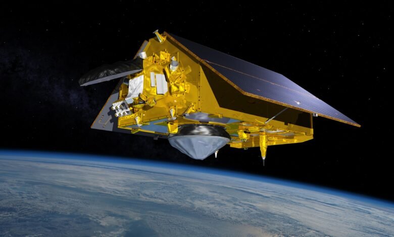
The Sentinel-6B satellite has cleared its initial system checks and is now calibrated to serve as a global reference for sea level data. The checks were meant to confirm that its measurements meet strict quality and accuracy standards. In January, the spacecraft is scheduled to take over as the reference satellite against which other sea-level missions calibrate their own data.
Taking over a key role
That job currently belongs to its predecessor, Sentinel-6 Michael Freilich. Together, the two satellites deliver high-precision ocean measurements that feed into hurricane forecasts, infrastructure protection and commercial activities such as shipping.
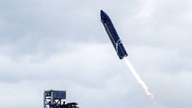
NASA and its European partners launched Sentinel-6B on Nov. 16, 2025. Sentinel-6 Michael Freilich currently flies about 30 seconds ahead of its twin. In the near future it will move into an accompanying orbit. In that configuration, the pair is expected to return higher-resolution data than either satellite can produce alone.
How the measurements work
Each Sentinel-6 satellite carries a radar altimeter, which sends thousands of radar pulses per second toward the ocean surface. The pulses bounce off wave crests and troughs, and the instrument times how long they take to return to the spacecraft. That travel time yields the height of the ocean surface. The same approach also gives wave size and marine wind speed.
Sea level is a useful indicator of ocean conditions because warm water expands. Changes in height therefore reflect both the volume of water in the ocean and its temperature.
Calibration matters because a reference satellite anchors the wider network of sea-level missions. Others adjust their data to match it, which keeps long-term records consistent across instruments. Once Sentinel-6B assumes the reference role in January, it will serve as that benchmark for the global sea-level record.
Source: www.jpl.nasa.gov